Reminder of the 70's along Rio Grande 31 – Moab, Utah [Trackside Utah PA]
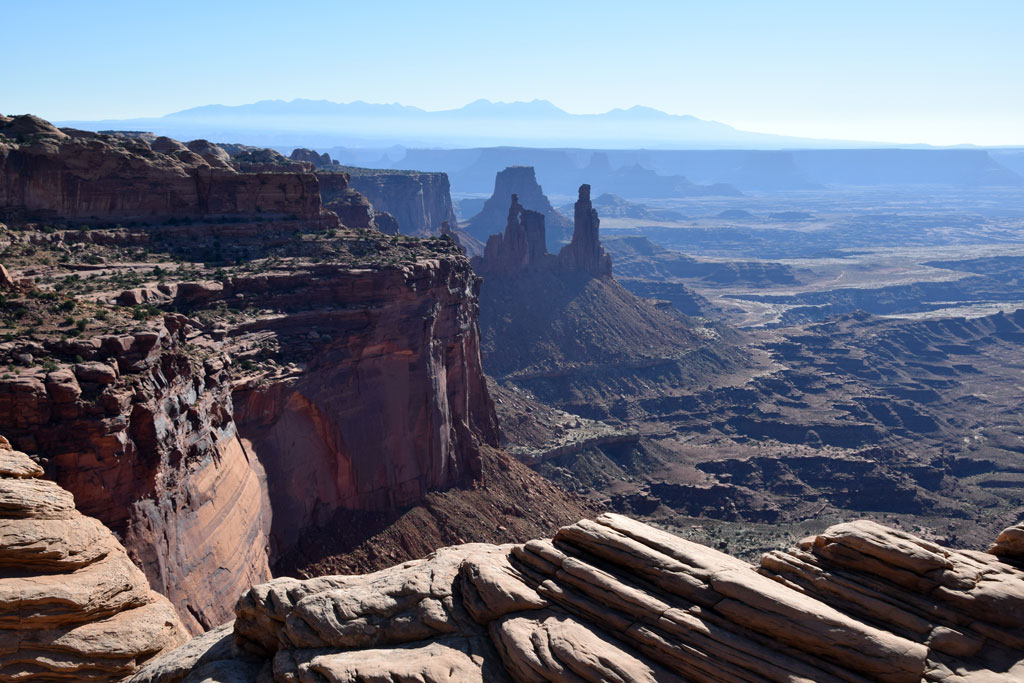 : Canyonlands National Park, UT Sep. 12, 2014
Moab, settled in 1878, is a city in Grand County, with a population of 4793 according to 1970 Census, 5046 according to 2010 Census.
Moab is the biblical name of the Jordan River east bank area, or is the Paiute word means mosquito.
The city was once served by Moab Garage Co., a Rio Grande Motor Ways connecting carrier. The city is escaped narrowly from Rio Grande Cane Creek Branch; tailings at former Atlas Minerals uranium mill site in Moab is now moved by train to the disposal site at Brendel.
The town is the gateway to the Arches National Park, Canyonlands National Park and Goosenecks State Park. Apache Motel at S 4th E St is listed on the National Register of Historic Places.
Map below shows the location of 70’s remnants in Moab. Introduction for each structure will follow this post.
Moabは1878年に始まる人口およそ5000人の町である。名前の由来には、聖書にあるヨルダン川東岸地区の名称、および蚊を意味する先住民の用語の二説ある。現在は近くの国立公園を訪れる際の拠点となるリゾート・タウンとなっている。
Moabの町に鉄道は乗り入れていない。Rio GrandeのCane Creek Branchは町の直前にあるトンネルで山の反対側に抜けてしまう。かつては、系列のRio Grande Motor Waysと提携するMoab Garage Co. という運送会社が、バス・トラックによる路線営業を行っていた。
Moabには、かつてのメイン・ストリートである東四番街沿いを中心に、モーテルやドライブ・インなどいくつかの70年代の遺物がある。地図は、この町においてこれから取り上げるものの所在を示す。
2015-08-07 09:00
コメント(0)
arx_Ph.D. さん

Here represented are my model railroad enthusiasm generated from the photos I took during my childhood at Knoxville, Tennessee, or from the photos I took during my recent trips.
I'm a retired professor of design, meanwhile a part-time associate at the architectural design office in Osaka, Japan where I live with my wife.


コメント 0